Erik Schmidt · 28 September 2026
Municipal Information Silos and Their Role in Coordinating Wildfire Evacuation Logistics Across Western States
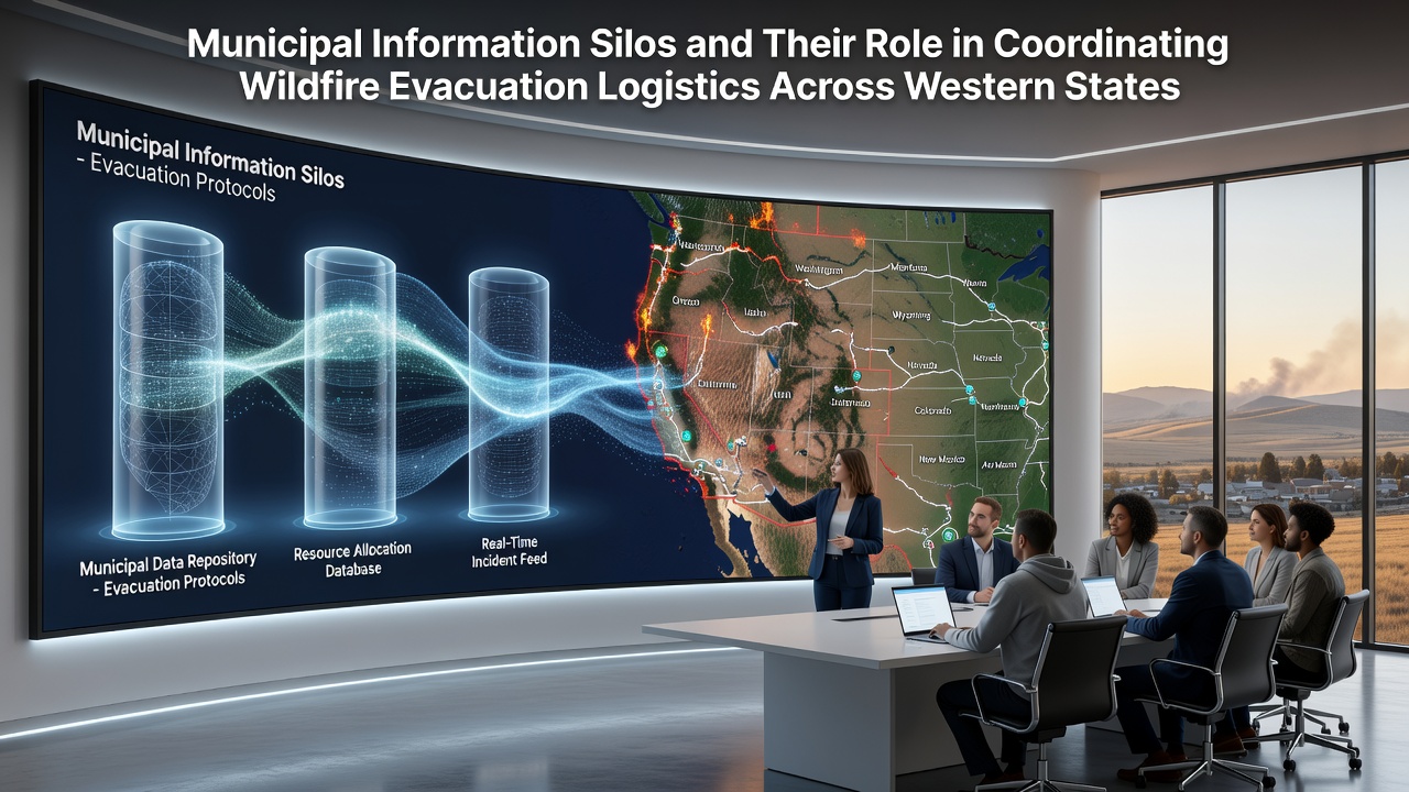
Western states have long dealt with fragmented data systems among cities and counties that maintain separate records for emergency planning, and these municipal information silos often limit seamless coordination during large-scale wildfire events. Researchers at state agencies note that such divisions create gaps in real-time sharing of evacuation routes, shelter capacities, and resource allocations across jurisdictions like those in California, Oregon, and Washington.
How Silos Form in Local Government Systems
City departments typically build their own databases for infrastructure mapping, population tracking, and hazard assessments without full integration with neighboring municipalities, and this pattern stems from differing software platforms plus varying budget priorities. Data shows that legacy systems in many western counties still operate on incompatible formats, which forces manual transfers of critical details during fast-moving fires. Observers note that while some states have pushed for standardized protocols since the early 2020s, adoption rates vary widely between urban centers and rural districts.
Impact on Evacuation Logistics During Wildfires
When fires spread across county lines, information silos slow the distribution of alerts and the assignment of transport assets, and studies from regional emergency offices indicate that delays in cross-jurisdictional data access have affected route planning in multiple incidents. For instance, one analysis of past seasons revealed that separate municipal records on road closures led to duplicated efforts in traffic control while leaving some neighborhoods under-served. Those who've examined these patterns point out that evacuation timelines stretch when agencies cannot pull unified lists of vulnerable populations or available buses from a single source.
Regional Examples from Recent Seasons
In California, several counties along the Sierra Nevada have reported challenges merging their wildfire response databases with state-level feeds, whereas Oregon agencies have experimented with shared dashboards that still require manual updates from individual cities. Data from the 2025 fire season highlighted how silos between municipal public works and county sheriffs offices complicated the staging of evacuation centers near the Oregon-California border. Similar patterns appear in Washington, where mountain communities maintain independent GIS layers that do not automatically sync with federal land management records during multi-county blazes.
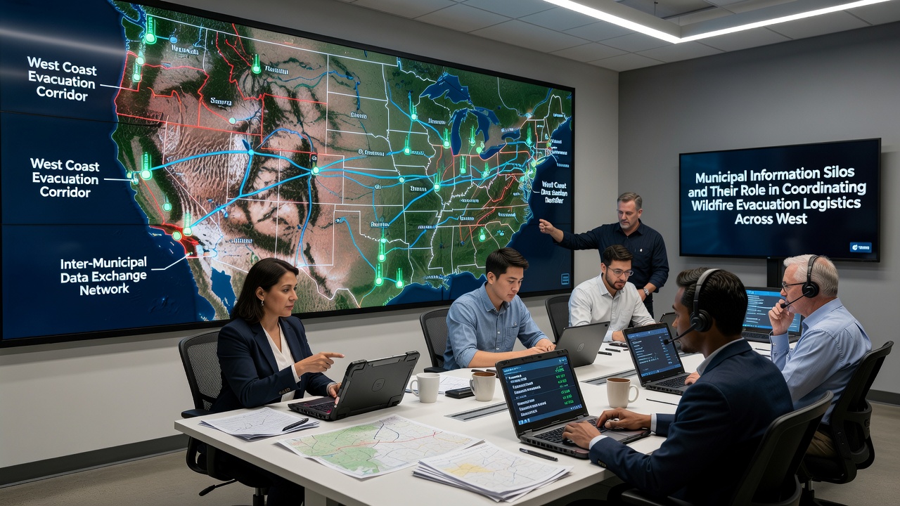
By September 2026, ongoing pilot programs in the Pacific Northwest aim to test cloud-based connectors that pull evacuation data from disparate city systems into a regional view, and early reports suggest these tools reduce the time needed to compile shelter availability across boundaries. Experts tracking these efforts emphasize that success depends on voluntary participation from each municipality rather than mandates.
Technological and Policy Approaches to Bridge Gaps
State governments have introduced grants for interoperability upgrades, and several western legislatures passed measures requiring annual data-sharing audits among local emergency offices. Research indicates that platforms using open standards allow faster integration of traffic sensor feeds with evacuation modeling software, although smaller towns often lack staff trained to maintain those connections. According to findings from a multi-state working group, regions that combined municipal records on fuel loads and population density saw quicker deployment of mutual-aid resources during peak fire months.
Canadian provinces bordering Washington and Idaho have shared cross-border protocols that some U.S. agencies reference for ideas on unified alert systems, while Australian bushfire management reports offer additional models for handling fragmented local data during extended events. These examples illustrate how other areas address similar coordination hurdles without requiring complete system replacement.
Conclusion
Western states continue to refine methods for connecting municipal information systems to support wildfire evacuation logistics, and ongoing projects through 2026 focus on practical connectors rather than wholesale overhauls. Figures from state emergency reports show incremental gains in data accessibility, yet persistent differences in local infrastructure keep silos in place for many jurisdictions. Those monitoring the field note that sustained investment in compatible tools will determine how effectively agencies manage future cross-boundary incidents.